We Skymap Geo-Infomatic Pvt. Ltd. is a Geospatial & Engineering Consultancy Company that is based in Delhi India.
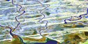
Skymap Company technologies in providing like Photogrammetry, Geographical Information System (GIS), Unmanned Aerial Vehicle (UAV), LIDAR, Satellite based , Asset Mapping, Inspection of assets, Topography Survey, Remote Sensing that can help to client to some problem and Favourable time in different Dominion.
Our Vision
We vision is to become one of the most preferred business partner for work force management throughout the globe with our core values – Commitment, Transparency and Integrity
Our Mission
Our Mission is to emerge as a leading recuitment services provider in an environment of growth, fairness, onesty anchored on values of customer delight fusion and innovations.