[vc_section pix_over_visibility=”” css=”.vc_custom_1637063158892{margin-top: -50px !important;padding-top: 50px !important;padding-bottom: 50px !important;background-color: #ffffff !important;}”][vc_row pix_particles_check=”” css=”.vc_custom_1637064215965{margin-bottom: 35px !important;padding-right: 100px !important;padding-left: 100px !important;}”][vc_column]
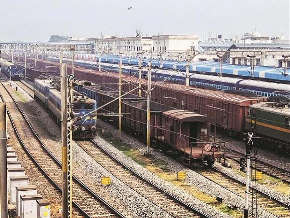
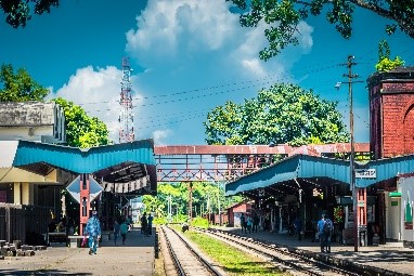
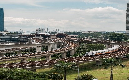
SKYMAP uses state-of-art world class technologies and best practices such as Drone Based Aerial Survey, Construction Monitoring, Assets Mapping For Railway & Metro Project.[/vc_column_text][/vc_column][/vc_row][vc_row pix_particles_check=”” css=”.vc_custom_1637064264300{padding-right: 100px !important;padding-left: 100px !important;}”][vc_column width=”1/3″ content_align=”text-center”]
- Railway track inspection
- Overhead cable inspection
- Component deformation inspection (wooden sleepers, driven rails, etc.)
- Elevated structures inspection
- Track work monitoring
[/vc_column_text][/vc_column][vc_column width=”1/2″ css=”.vc_custom_1637134995454{border-top-width: 1px !important;border-right-width: 1px !important;border-bottom-width: 1px !important;border-left-width: 1px !important;border-left-color: #eeeeee !important;border-left-style: solid !important;border-right-color: #eeeeee !important;border-right-style: solid !important;border-top-color: #eeeeee !important;border-top-style: solid !important;border-bottom-color: #eeeeee !important;border-bottom-style: solid !important;}”][vc_column_text]Railway & Metro ecosystem
- Rail bridge inspection
- Landslide on sloped terrain surveying
- Track perimeter inspection
- Vegetation perimeter inspection
[/vc_column_text][/vc_column][/vc_row][/vc_section][vc_section pix_over_visibility=”” css=”.vc_custom_1637133441080{padding-top: 50px !important;padding-bottom: 50px !important;background-color: #ffffff !important;}”][vc_row pix_particles_check=”” css=”.vc_custom_1637064192303{margin-bottom: 35px !important;padding-right: 100px !important;padding-left: 100px !important;}”][vc_column]
- 1. Localization of structural cracks and failures
- Quality control measurement (rail track cross section, deformation, etc.)
Close-up inspection
- High voltage electric cables anomalies inspection
- Detailed analysis of elevated structure (pylons, tower, etc.)
Mapping
- Accurate digital elevation modeling (DEM) for track design and planning
- Scaled map generation for rail network planning
High resolution imagery
- Aerial visual images of off-track ecosystem (drainage, vegetation, etc.)
- Integrity inspection of rail assets (building, bridge, stations, etc.)
Thermal inspection
- Inspection of heat related components (switch points, traction substation, etc.)
- Overhead lines monitoring for detection of failures through heat change
Benefits
Safety
- Increase personnel safety with- less personnel exposeure to trackside work
- Operational safety improvement – less collision risk of rail maintenance vehicles with commercial trains
Reporting
- Fast and accurate data sets – instant inspection reporting to remotely located surveyor
- Digitized workable data – interactive data for predictive maintenance planning
Cost
- Mobilization cost saving of inspection vehicles – less train wagon inspection
- Reduction of track possessions – less planning cost and no service disruptions
Resources
- Optimization of personnel planning and mobilization
- Digital information support for ground crew advanced equipment planning
[/vc_column_text][/vc_column][vc_column css_animation=”fadeInUp” width=”1/3″ css=”.vc_custom_1637136820439{background-image: url(https://www.skymap.co.in/wp-content/uploads/2021/11/DMRC-metro-rail-network.jpg?id=563) !important;background-position: center !important;background-repeat: no-repeat !important;background-size: cover !important;border-radius: 10px !important;}”]
[/vc_column][/vc_row][/vc_section]