[vc_section pix_over_visibility=”” css=”.vc_custom_1637063158892{margin-top: -50px !important;padding-top: 50px !important;padding-bottom: 50px !important;background-color: #ffffff !important;}”][vc_row pix_particles_check=”” css=”.vc_custom_1637064215965{margin-bottom: 35px !important;padding-right: 100px !important;padding-left: 100px !important;}”][vc_column]
Natural Resources Preface
[vc_column_text]
SKYMAP GEO-INFOMATIC is a Geospatial service and consultancy Service provider in Uttar Pradesh, India.
SKYMAP uses state-of-art world class technologies and best practices such as Drone Based Aerial Survey, Construction Monitoring, Assets Mapping For Natural Resources Mapping.[/vc_column_text][/vc_column][/vc_row][vc_row pix_particles_check=”” css=”.vc_custom_1637064264300{padding-right: 100px !important;padding-left: 100px !important;}”][vc_column width=”1/3″ content_align=”text-center”]
[/vc_column][vc_column width=”1/3″ content_align=”text-center”]
[/vc_column][vc_column width=”1/3″ content_align=”text-center”]
[/vc_column][/vc_row][/vc_section][vc_section pix_over_visibility=”” css=”.vc_custom_1637133441080{padding-top: 50px !important;padding-bottom: 50px !important;background-color: #ffffff !important;}”][vc_row gap=”20″ equal_height=”yes” pix_particles_check=”” css=”.vc_custom_1637135084628{padding-right: 100px !important;padding-left: 100px !important;}”][vc_column css=”.vc_custom_1637134449793{border-top-width: 1px !important;border-right-width: 1px !important;border-bottom-width: 1px !important;border-left-width: 1px !important;border-left-color: #eeeeee !important;border-left-style: solid !important;border-right-color: #eeeeee !important;border-right-style: solid !important;border-top-color: #eeeeee !important;border-top-style: solid !important;border-bottom-color: #eeeeee !important;border-bottom-style: solid !important;}”][vc_column_text]
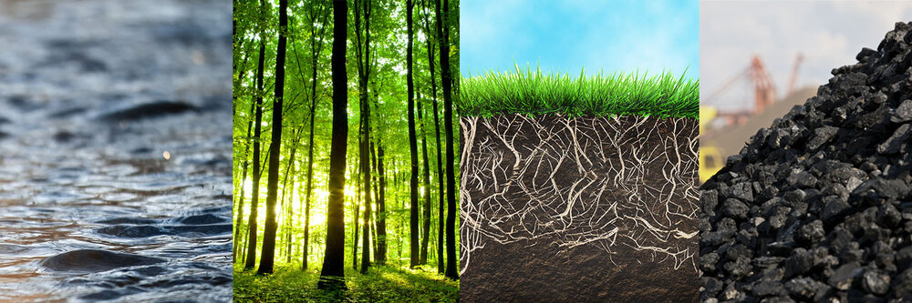
- Mapping of Forest Cover
- Mapping of Surface Water
- Soil Mapping
- GIS analysis
- Reporting
[/vc_column_text][/vc_column][/vc_row][/vc_section]