[vc_section pix_over_visibility=”” css=”.vc_custom_1637063158892{margin-top: -50px !important;padding-top: 50px !important;padding-bottom: 50px !important;background-color: #ffffff !important;}”][vc_row pix_particles_check=”” css=”.vc_custom_1637064215965{margin-bottom: 35px !important;padding-right: 100px !important;padding-left: 100px !important;}”][vc_column]
- Photogrammetry
[/vc_column_text][/vc_column][vc_column width=”1/4″][vc_column_text css=”.vc_custom_1637145188200{padding-top: 18px !important;}”]
- Aerial Photography
[/vc_column_text][/vc_column][vc_column width=”1/4″][vc_column_text css=”.vc_custom_1637145199596{padding-top: 18px !important;}”]
- GIS and Remote Sensing
[/vc_column_text][/vc_column][vc_column width=”1/4″][vc_column_text css=”.vc_custom_1637145213372{padding-top: 18px !important;}”]
- Total Station Survey
[/vc_column_text][/vc_column][/vc_row][vc_row pix_particles_check=”” css=”.vc_custom_1637064316404{padding-right: 100px !important;padding-left: 100px !important;}”][vc_column width=”1/3″ content_align=”text-center”]
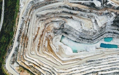
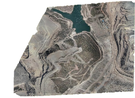
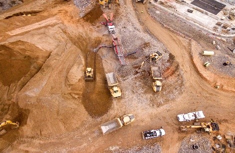
- Excavated area and volume measurements
- Extracted stockpiles volumetric calculations
Close-up inspection
- Equipment dilapidation inspection (e.g. conveyors, rockers, etc.)
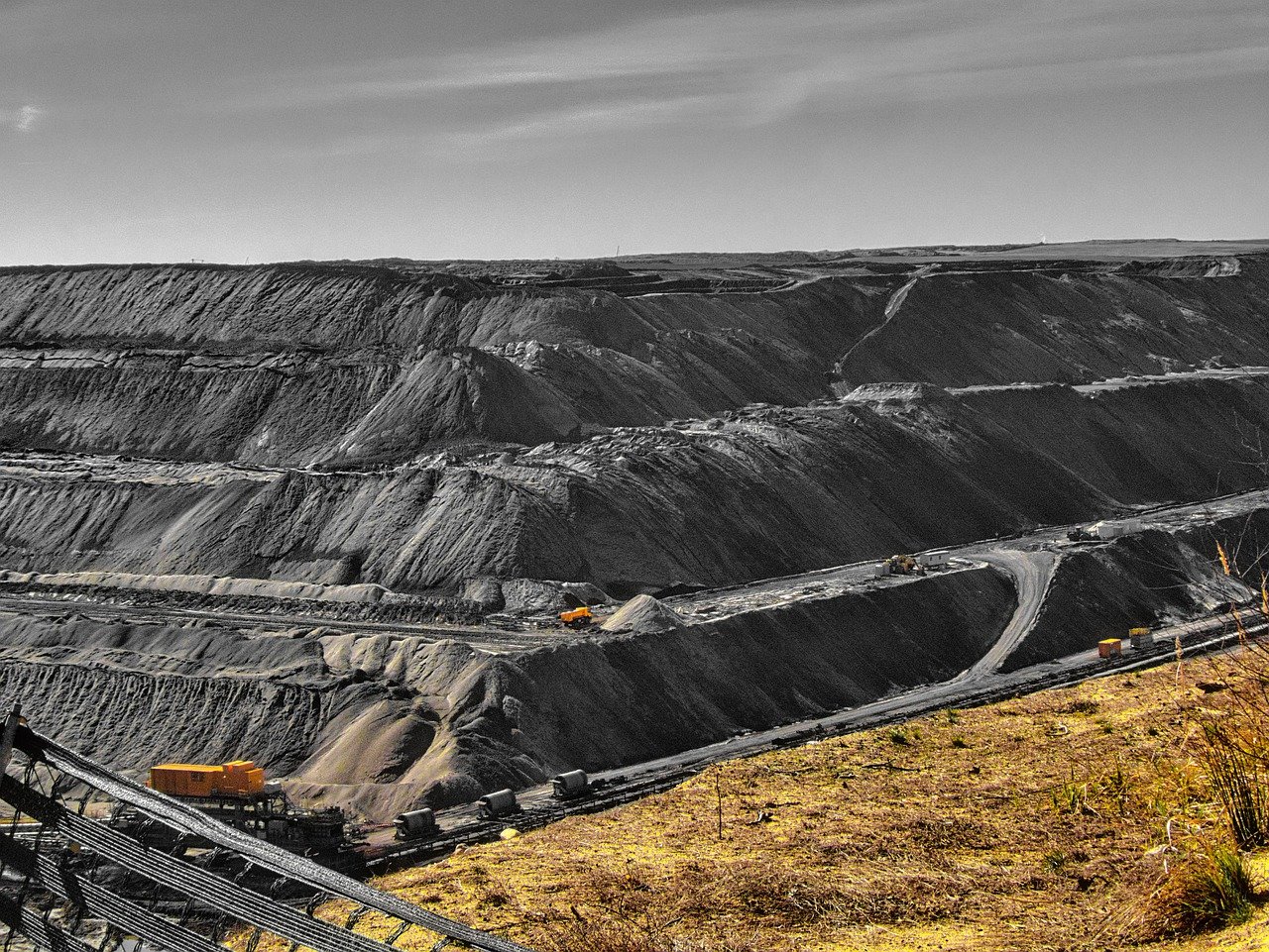
- Mine highwalls potential failure inspection
[/vc_column_text][/vc_column][vc_column width=”1/2″ css=”.vc_custom_1637134995454{border-top-width: 1px !important;border-right-width: 1px !important;border-bottom-width: 1px !important;border-left-width: 1px !important;border-left-color: #eeeeee !important;border-left-style: solid !important;border-right-color: #eeeeee !important;border-right-style: solid !important;border-top-color: #eeeeee !important;border-top-style: solid !important;border-bottom-color: #eeeeee !important;border-bottom-style: solid !important;}”][vc_column_text]Mapping
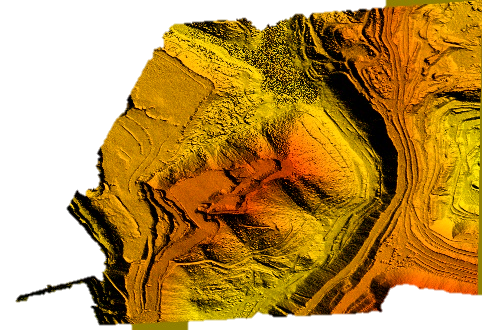
- Digital terrain modeling (DTM) for height and elevation data of open pit mines
- Digital Elevation modeling for height and depth of entire site
High resolution imagery
- High quality 2d scaled maps
- 3d conceptual model of mine sites
[/vc_column_text][/vc_column][/vc_row][/vc_section][vc_section pix_over_visibility=”” css=”.vc_custom_1637133441080{padding-top: 50px !important;padding-bottom: 50px !important;background-color: #ffffff !important;}”][vc_row pix_particles_check=”” css=”.vc_custom_1637064192303{margin-bottom: 35px !important;padding-right: 100px !important;padding-left: 100px !important;}”][vc_column]
- Increase personnel safety- less surveyors exposed to site hazards
- No equipment set-up in open pit- less risk of equipment ground crashing
Reporting
- Replacement of conventional methods- less expensive cranes and access equipment
- Opportunity for cost reduction- less operational shutdown
Resources
- Optimization of crew deployment- shorter notification time for ground crew
- Efficient mission planning- optimization of fleet and equipment utilization
[/vc_column_text][/vc_column][vc_column css_animation=”fadeInUp” width=”1/3″ css=”.vc_custom_1637148096036{background-image: url(https://www.skymap.co.in/wp-content/uploads/2021/11/Oil-Gas-Firms.jpg?id=581) !important;background-position: center !important;background-repeat: no-repeat !important;background-size: cover !important;border-radius: 10px !important;}”]
[/vc_column][/vc_row][/vc_section]